

Hidden pathway to beauty of Nhat Tu Son
 |
| Posing: Couple pose by one of the rickety bridges in the area. - Photo newsthoidai.vn |
With a total area of 6ha, the two-kilometre-long islet and its hills act like a feng-shui screen preventing waves and wind from reaching the nearby fishing villages of My Hai and My Thanh.
Another unique feature of the little isle is that it is linked to the mainland less than one kilometre away by a gravel road just beneath the surface of the sea on which locals and tourists can walk. The hidden pathway only emerges at certain low tides.
Nguyen Hai Son, a local fisherman, said that in the first half of each lunar month, the water was lower in the afternoon while in the rest of lunar month, the tide was low in the morning.
I was walking to the island in the middle of the day when the road was under water, but I felt safe and, as I found out, this was the best time to take photos.
From the islet, one can see villages on poles that raise lobsters. Together with nearby Song Cau Town and Cu Mong Lagoon, the bay offers the best seafood in the province.
Though the islet is not as spectacular as Diep Son Island in central Khanh Hoa Province, its beautiful natural landscape and kind-hearted people are another attraction.
Legendary bridge
Phu Yen Province has many small bays running along the coast. It has a complicated geographical outline that creates lagoons mingling with the land, making it difficult for road traffic. This forces locals to make temporary bridges for daily use.
Ong Cop Bridge (or Binh Thanh Bridge) is one among hundreds of such bridges in the area. It is the longest in Viet Nam made of wood and bamboo.
The bridge links villages in the north of An Ninh Tay Commune (Tuy An District) with Song Cau Town.
From National Road 1A, turn right and keep going about 100m towards the sea. There, one will find a thin 400-metre-long bridge spanning the Binh Ba River, which flows to Tien Chau Port. The fragile bridge is an important route crossing over immense waters that flow to O Loan Lagoon.
To save time, many backpackers choose to drive motorbikes across the bridge to reach Ghenh Da Dia and other localities in the province instead of going along the National Road.
A local villager told me that the bridge is destroyed every year by flood water but is soon re-built.
The slim bridge in the middle of an immense water area is an idyllic scene very important to local traffic.
Floating meals
Cu Mong is the name of a mountain range in the northeast of Phu Yen Province. It is also the name of a pass through the mountain and a lagoon at its foot. The lagoon is famous for its fish and other seafood. An old saying goes:
“Ca ngon la ca Cu Mong
Gao ngon la gao o dong Phu Duong.”
(Good fish are from Cu Mong Lagoon,
Good rice is from Phu Duong Field.)
Phu Duong field is at the foot of Cu Mong Mountain range, 12km north of Song Cau Town.
Cu Mong is actually a small sea bay with a total square of 26sq.km. It is bordered by Cu Mong Mountain, which runs into the sea.
Driving along the lagoon, tourists will find floating cages raising lobsters, sea horses and oysters, which all bring high profits.
Taking a meal at a floating restaurant in the area is relaxing. While enjoying local fresh sea food cooked in traditional way, tourists can admire the serene beauty of a peaceful village under the shadow of coconut trees.
What the stars mean:
★ Poor ★ ★ Promising ★★★ Good ★★★★ Very good ★★★★★ Exceptional
Latest News


More News
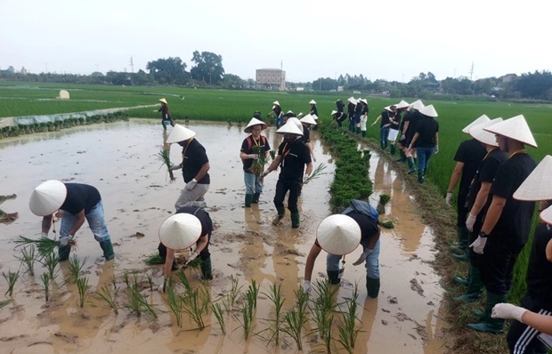
- Cultivating agricultural tourism model in Hanoi (April 05, 2024 | 14:51)
- HCM City stimulates tourism with discounts up to 60 per cent (April 04, 2024 | 16:01)
- Visitors to Vietnam in first quarter exceeded pre-COVID numbers (April 03, 2024 | 16:42)
- Domestic tourism under threat from high flight costs (April 02, 2024 | 12:19)
- Travelling back to nature (April 02, 2024 | 11:50)
- An Giang launches smart tourism information portal (March 29, 2024 | 10:20)
- Hanoi voted as ‘Best Food Destination for 2024’ by TripAdvisor readers (March 29, 2024 | 10:08)
- AirAsia Cambodia ready to take off starting with three domestic destinations (March 19, 2024 | 18:27)
- Phu Quoc among top beach destinations in Asia (March 19, 2024 | 15:55)
- Favourable visa policy boosts tourism recovery (March 19, 2024 | 15:44)


 Mobile Version